Viewer
Display an Image
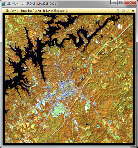
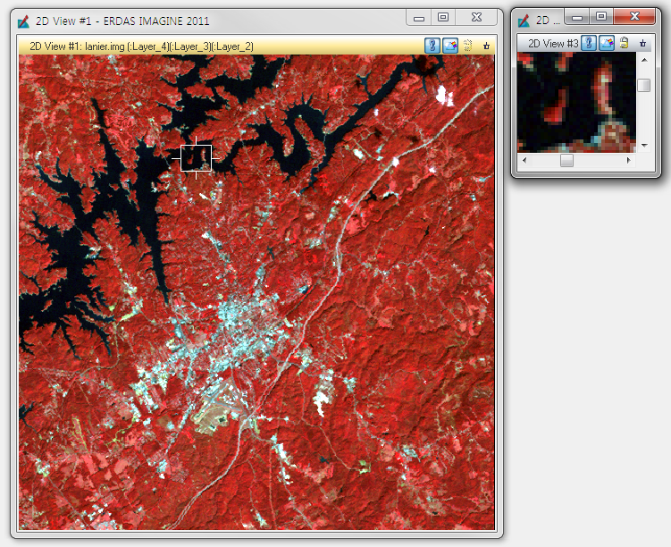
Display a Landsat Thematic Mapper (TM) image of
Gainesville, Georgia in a Viewer.
- select File -> Open -> Raster Layer.

- NOTE: The Recent and Goto buttons in the Select Layer To Add dialog
are helpful for quickly locating and displaying a file or directory you work
with often.
- Click the file
lanier.img. - This is a Landsat TM image of the Gainesville, Georgia area, including
Lake Lanier. Information about this file is reported in the bottom, left
corner of the Select Layer To Add dialog. This true color image has
seven bands, 512 columns, and 512 rows.
- Click the Raster Options tab
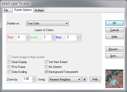
- Under Layers to Colors, display band 4 in the Red color gun, band 5in the Green color gun, and band 3 in the Blue color gun.
- Click OK in the Select Layer To Add dialog
Utility Menu Options
The Utility menu on the Viewer enables you to access four separate
groups of functions:
- inquiry functions
- measurement tool
- layer viewing
- information
Inquire Functions
- Select Home : Information : Inquire (or Pop-up menu -> Inquire )
Change Inquire Cursor Style
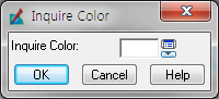
- Home : Information : Inquire : Inquire Color
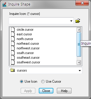
- Home : Information : Inquire : Inquire Shape
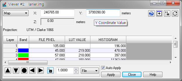
Take Measurements
- Home : Information : Measure
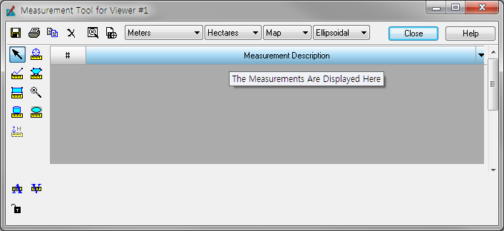
- Click the Measure Positions icon in the Measurement toolbar. This
tool gives the individual point coordinates (x, y) in the image.
-> Move the cursor into the Viewer and click anywhere.
- Next, click the Polyline icon -> Move the cursor into the Viewer and click once at the beginning of a line
feature then drag the mouse to extend the line along the feature. Click
to add a vertex at each point. double-click (or middle-click) to end the measurement.
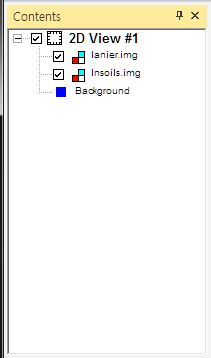
Arrange Layers
- In the Viewer toolbar, click the Open icon to open another layer on
top of lanier.img.
- click lnsoils.img. [ Check to be sure that the Clear Display checkbox is disabled (not
selected), ]
- drag and drop to re-arrange the layers or click the box before image name to display/not-display
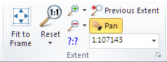
Zoom and Pan
- Home : Expent : Fit to Frame / Reset / Zoom in by 2 / Pan ...
- Home : Window : Add Views -> Create Magnifier
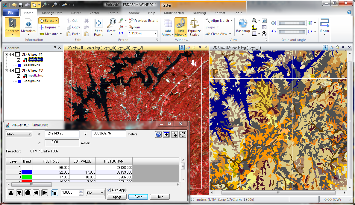
Display and Compare Images
The file lanier.img should be displayed on top of lnsoils.img in a
Viewer window.
- Home : Window : Add Views -> Split Current view Vertically
- then move lnsois.img to View#2
- Home : Window : Link Views -> Link Views
- Home : Information : Inquire
- to unlink Click Home : Window : Link Views -> Link Views